 History Globe
A free atlas of biblical history
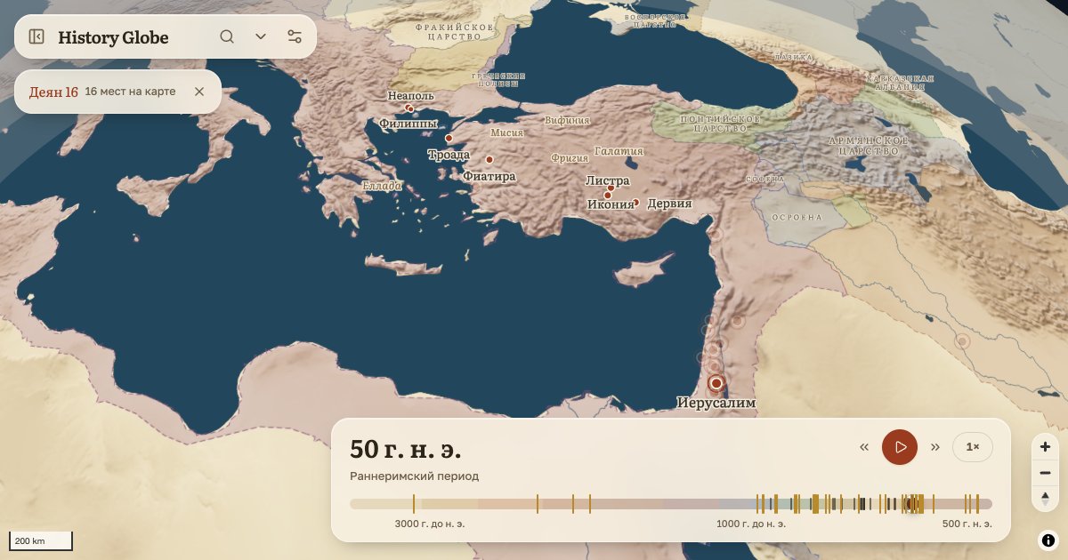
Biblical history on a globe
The places the Bible names, on a globe with its relief; the states around them year by year, from 3500 BC to AD 1300; for every place, its verses and its sources.
- 1,231 places
- 54 tours
- 309 articles
- 100 questions answered
- 57 battles and sieges
One timeline
The Old and New Testaments, Egypt, Assyria, Rome: move the year and the borders, towns and names change.
Tours with days on the road
Abraham's journeys, the Exodus, Paul's voyages — along the roads and the relief, with the days the text gives.
Articles with sources
Every fact says what it rests on: Josephus, Eusebius, inscriptions, excavations. What is disputed is called disputed.
For a lesson
A lesson sheet on A4, an outline map for pupils, a quiz on screen and on paper, a lesson in one link.
Questions of context
Where was Nineveh? How long did Paul travel to Rome? Short answers with the map and the verses.
For developers
Open data under CC BY 4.0, a verse-to-places API and a globe to embed on your own site.
How it is made
The data comes from OpenBible.info, Cliopatria, Pleiades, Itiner-e and other open sets. Articles are drafted with AI help and checked against their sources in a separate pass; scholars have not reviewed them yet, and the site says so. Methodology.
No account, no cookies. Privacy · Places of biblical history · Questions